


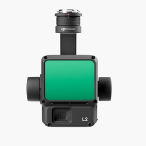
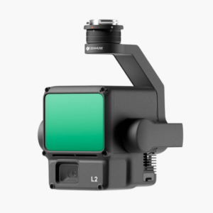
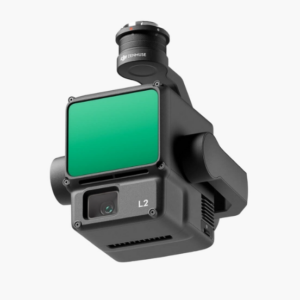
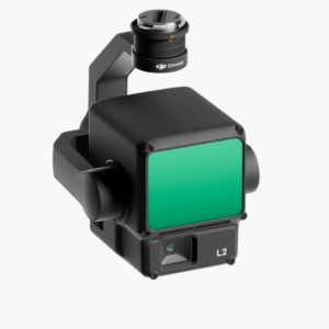
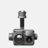
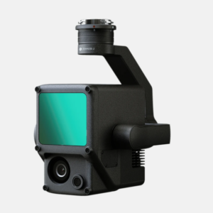
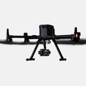
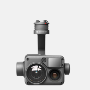
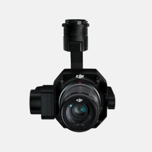
Camera DJI Zenmuse L2
7,999$
With the recent launch of the DJI Zenmuse L2, one cannot help but marvel at the incredible advancement in drone surveying technology. This dual measurement payload is not only an upgrade from the previous Zenmuse L1, but also represents an advancement in performance, accuracy and data quality.
1. Technical specifications of DJI Zenmuse L2
Below are the basic specifications of DJI Zenmuse L2 including:
Size
155x128x176mm
Weight
905±5g
Wattage
28w normal
58w max
IP
IP54
Support aircraft
M300 RTK and M350 RTK
Detection range
Reflectivity 450m @ 50%, 0klx;
Reflectivity 250m @ 10%, 100klx
System accuracy
Horizontal: 5 cm @ 150 m; Vertical: 4 cm @ 150 m.
Both are at a flying altitude of 150m, flying speed of 15m/s
LiDAR
5
RGB mapping camera
4/3 inch; 20MP
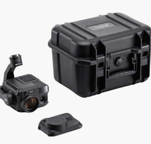
2. What does the DJI Zenmuse L2 product box include?
The DJI Zenmuse L2 product box usually includes the following components:
LiDAR scanner Zenmuse L2 x1
microSD Card (128GB) x1
Lens Cap x1
Storage Case x1
Lens Cleaning Cloth x1
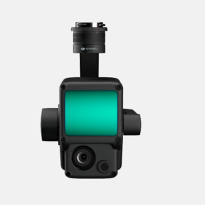
Zenmuse L2
Full Zenmuse L2 camera product box
3. Function of Zenmuse L2 camera
DJI Zenmuse L2 is a versatile LiDAR camera system, specifically designed for geospatial measurement and drone surveying applications. This system integrates a LiDAR sensor, a self-developed high-precision IMU system and a 4/3 CMOS RGB mapping camera. The main functions of Zenmuse L2 include:
3.1 Collect accurate geospatial data
The Zenmuse L2 detachable sensor camera enables highly accurate geospatial data collection, including LiDAR data and RGB images. This is important for applications such as land surveying, forestry management, infrastructure management and many other situations.
3.2 High accuracy
Zenmuse L2 achieves significant improvement in accuracy by integrating a self-developed high-precision IMU (Inertial Measurement Unit) system. Combined with the drone’s RTK (Real-Time Kinematic) positioning system, Zenmuse L2 is capable of synthesizing data during post-processing. This allows the Zenmuse L2 to access absolute position, speed and attitude information with high precision.
Horizontal precision
In real time: 0.2°
During post-processing: 0.05°
Step/roll accuracy
In real time: 0.05°
During post-processing: 0.025°
This improved accuracy helps the DJI Zenmuse L2 perform tasks with optimal reliability and precision, especially in collecting geospatial data and detailed surveys.
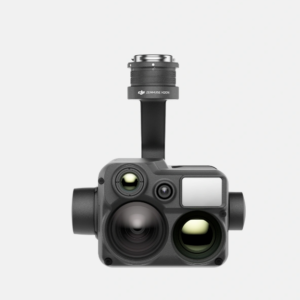
Zenmuse L2
High precision is the highlight of DJI L2
3.3 Simple and intuitive operation
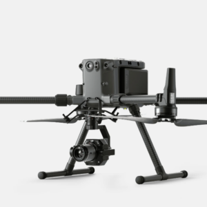
The Zenmuse L2 pairs perfectly with the Matrice 350 RTK and DJI Terra industrial aircraft, providing a simple, easy-to-use operational solution that reduces the difficulty threshold during mission execution. This means that users can effectively take advantage of this tool without spending a lot of time getting used to it.
3.4 Ability to collect data effectively
DJI Zenmuse L2 is truly excellent in its ability to cover an area of up to 2.5 km2 in a single flight. This efficiency facilitates data collection over a wider area, helping to save time and resources during LiDAR scanning and surveying missions.
DJI Zenmuse L2
Collect data more efficiently when using this device
3.5 Simple penetration
Zenmuse L2 makes getting into the environment easier than ever. With the ability to detect objects from long distances and generate dense point clouds, it provides remarkably detailed and accurate information about the environment. This simplifies the data collection and survey process and facilitates the efficient identification and processing of environmental information.
Be the first to review “Camera DJI Zenmuse L2”
Related products
DETACHABLE DEVICES
DETACHABLE DEVICES
DETACHABLE DEVICES
DETACHABLE DEVICES
DETACHABLE DEVICES
DETACHABLE DEVICES
DETACHABLE DEVICES
DETACHABLE DEVICES
Reviews
There are no reviews yet.